Informations
Names
Wadi rum or wadi ramm is believed to get its name from the early name of iram of the pillars (also called irum (Arabic: إرم)), a lost city mentioned in the quran.
Geography
The area is centered on the main valley of wadi rum. The highest elevation in jordan is jabal umm ad dami at 1,840 m (6,040 ft) high (SRTM data states 1854 m), located 30 kilometers south of wadi rum village. It was first located by difallah Ateeg, a Zalabia bedouin from rum. On a clear day, it is possible to see the red sea and the saudi border from the top.
Jabal ram or jebel rum (1,734 metres (5,689 ft) above sea level) is the second highest peak in jordan and the highest peak in the central rum, rising directly above rum valley, opposite jebel umm ishrin, which is possibly one meter lower.
Khaz'ali canyon in wadi rum is the site of petroglyphs etched into the cave walls depicting humans and antelopes dating back to the thamudic times. The village of wadi rum itself consists of several hundred bedouin inhabitants with their goat-hair tents and concrete houses and also their four-wheel vehicles, one school for boys and one for girls, a few shops, and the headquarters of the desert patrol.
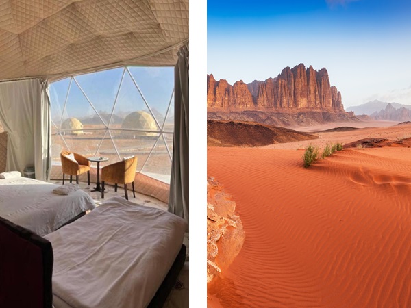
Activities
Available inside wadi rum activities, meals and transport throughout the desert. They also run restaurants and small shops in the villages that provide meals and basic supplies for visitors. Popular activities in wadi rum include 4x4 tours, camel rides, hiking, ballon, camping, rock climbing, and also dima and lama hattab coordinate an annual marathon in the region called jabal ishrin.